BACKGROUND:
 Maps and globes are very important tools for identifying places on the
Earth’s surface. Both are representations of the real Earth at a
manageable size. A globe is a true representation in miniature. A map is a
flat representation of an area, which usually has distortions. The word
chart is sometimes used to refer to a map. Maps and globes are very important tools for identifying places on the
Earth’s surface. Both are representations of the real Earth at a
manageable size. A globe is a true representation in miniature. A map is a
flat representation of an area, which usually has distortions. The word
chart is sometimes used to refer to a map.
In order to make a map you have to
somehow project the image from a model of the Earth (globe) on a flat piece
of paper. Projections fall into three basic categories: planar, conic, and
cylindrical.
PROCEDURE:
- The book Maps
and Globes reviews the historical
significance of these tools, and describes the different types of maps
we use. Read the book to the class. The key points derived from reading
the book are as follows.
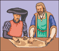
A. Thousands of years ago our ancestors invented the map.
B. As civilization grew, better maps were needed.
C. Charts are maps used to sail the wide oceans.
D. But ancient world maps were incredibly incomplete.
E. The Age of Exploration begins, Columbus sails.
F. Magellan sails, and proves that the Earth is round.
G. Globes are tiny models of our Earth.
H. Maps can put our round Earth on flat paper.
I. Globes are the most realistic world maps.
J. The equator divides the Earth in half.
K. How to put big countries on small pieces of paper.
 L. You can measure the Earth with a piece of string.
M. Where on Earth am I, exactly?
N. How high are the mountains?
O. How deep are the oceans?
P. Physical maps - the nature of places
Q. Political maps - people and countries.
R. Local maps - getting closer to home.
- When you finish, ask the students which
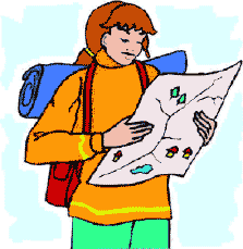
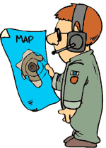
professions would require an understanding of maps. Hopefully they will
come up with a long list! Possible answers include :pilots, postal
workers, geographers, truck drivers, shippers, travelers, geologists,
hunters, soldiers, and many more professions. This should impress the
importance of maps on the class.
- The Internet has educational sites posted every year on maps. You can
have your students generate their own maps or find maps of the local
area. We highly recommend you use a search engine to enter words like
"map," "map finder," or "map projections,"
to help you find maps for your students.
National Geographic Society
http://www.nationalgeographic.com/resources/ngo/maps
U.S. Geological Survey
http://www.usgs.gov/
|