BACKGROUND:
When students look outside, they see that the Earth is
not flat like most maps make it appear. The Earth has mountains and valleys,
hills and depressions. The Earth has what is called "relief", or
changes in elevation on its surface
A map is usually a two dimensional picture or
representation of the Earth's surface. Maps have many purposes, such as
showing distances between objects, portraying relief, and navigation. Most
maps, whether printed on a flat piece of paper or viewed on a computer
screen, are two dimensional representations of the real, three dimensional
Earth. A map is not a picture or photograph of the Earth's surface. It is a
drawing which highlights some feature of interest, such as a road map. Maps
can thus make clear details that might be hard to interpret from
photographs.
All maps have a scale, which relates map distances to
real world distances. On the United States placemat, a bar scale shows
distances in miles and kilometers. Note that different scales are used for
the Alaska and Hawaii insets.
In this lab, the students will use the United State
placemat. The colored side of this shows the fifty states, their principal
cities, national parks, and major rivers and mountains. The black and white
shows major rivers and the locations of state capitals. You may wish to
explain the scale to them, as a way of understanding "how far
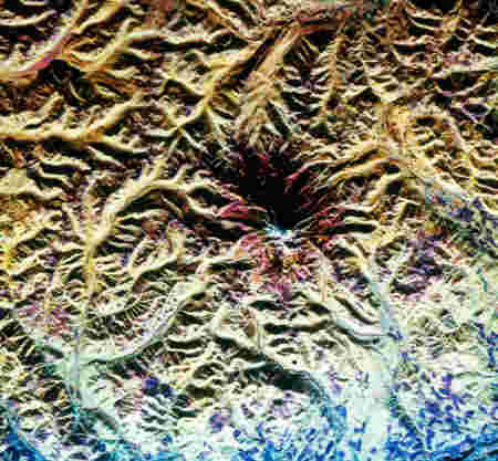
away" things are from each other. The relief map is a special type of
three dimensional map which portrays changes in elevation on the Earths
surface. They are an excellent tool to help students understand the concept
of relief. Note that relief is exaggerated on the map. This is necessary,
because in reality mountains are really tiny "bumps" on the Earths
surface.
PROCEDURE:
- Introduce maps to the students. Some of them may be familiar with maps
from computer or video games. You may wish to show them a road map of
your local area, to demonstrate maps as navigational tools. Explain the
concept of relief to the students, and tell them that some maps show
relief.
Show students the United States relief map. Have them touch all the
"bumps". Explain that these bumps are mountains. Make sure the
students see that the United States has mountains on the east coast and
the west coast. Explain that the middle of the United States is flat.
When land is flat it is called a plain. You may wish to illustrate
mountains and plains with photographs.
- Have the students work individually or in groups. Give each student or
student group a United States placemat and play dough. Have the students
make a relief map, using the two dimensional map as a base. The key
objective is for the students to outline mountains near the east and
west coasts. The western mountains should be larger. Have the relief map
available, so that the students can refer to it. Check their maps after
they completed their assignment.
- Check the students maps. Do not expect too many sculptured master
pieces! Just working with the playdough, attempting to make mountains is
sufficient. Have the students clean their placemats and put the
playdough away.