BACKGROUND:
 Volcanoes and earthquakes provide evidence that the
Earth is "cracking" in certain areas. These areas are almost
exclusively plate boundaries, where plates come together, spread apart, or
slide past each other. Other areas, i.e., the middles of plates, have very
few volcanoes or earthquakes. These areas move as a single rigid body so
they do not show signs of stress.
Volcanoes and earthquakes provide evidence that the
Earth is "cracking" in certain areas. These areas are almost
exclusively plate boundaries, where plates come together, spread apart, or
slide past each other. Other areas, i.e., the middles of plates, have very
few volcanoes or earthquakes. These areas move as a single rigid body so
they do not show signs of stress.
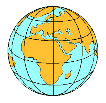
Students are often confused by the terms
"plate" and "continent". This is for a very good reason.
A geographic continent has a clearly defined edge where the land meets the
ocean. Plate boundaries, however, are sometimes fuzzy and not sharp. Plates
may include both continental and oceanic crust, and may end in the middle of
oceans. In some areas, such as parts of Indonesia, it is almost impossible
to define plate boundaries; there are too many small pieces involved.
Children sometimes have difficulty using volcanoes and
earthquakes to define plate boundaries. Volcanoes provide structural
evidence for plate boundaries. They leave evidence in the form of rocks,
ash, and in most cases a mountain (a pile of lava and ash). Earthquakes give
geophysical evidence for plate boundaries. Each earthquake is a release of
energy, which may be recorded by a seismograph. Earthquakes do not always
leave a physical trace, as do volcanoes. Sometimes all that is visible is a
crack in the land surface, which is quickly destroyed by weathering and
erosion.
Nonetheless, if the locations of earthquakes and
volcanoes are plotted on a map, they clearly recur in the same areas. These
areas are almost always plate boundaries.
PROCEDURE:
- Decide which version of the plate puzzle you wish to use. One version
(worksheet C) is on a single piece of paper. You can use this as a
coloring exercise if you do not wish to make the puzzle pieces prior to
the activity. Your students can cut this version out and have their own
puzzle.
The longer version is composed of 2 sheets (worksheet A and B) that
should be seamed together on a larger piece of paper. This is the ideal
version for making the puzzle, since it has "letters" to help
the students match the correct edges. This version also can be placed
over the world placemat.
NOTE: the student workbook contains only worksheet C.
- Remind students that they have studied earthquakes and volcanoes.
Explain that earthquakes and volcanoes help scientists (geologists) to
study how the Earth works. Through looking at patterns in where
earthquakes and volcanoes occur, they have found that the Earth's
surface seems to move as large masses of the rock, which are called
plates.
- Introduce maps to the students. Make sure that you state that the
continents are part of the plates, but that plates extend underneath the
oceans as well. Tell the class that the plates have moved for millions
and millions of years.
- Pass out the puzzles to the students. Point out that continents and
plates are different.
- Another way to point out the difference between plates and continents
is for you to draw the continents on the shell of a hard boiled egg. When
you crack the egg, the students can see that the shell forms plates
separate from the continents ... and have a healthy snack.