|
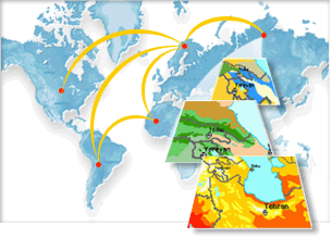
GIS
GIS is important because of
its ability to analyze information. Any information which is related
to maps can be analyzed with a GIS. The types of maps and data in a
GIS are also very flexible. A GIS map can cover very small to very
large areas. A small GIS map might just show a few blocks in a
city. It might show details of where utilities such as telephones
lines, sewers, and cables are located. A large GIS map could cover the
entire Earth. It might show seasonal changes in plant growth. The
information that a GIS map shows can be about anything.
A geographic information
system (or GIS) is a way of representing information about the world
in a computer in the same way a map shows the world on paper.
|