|
 |
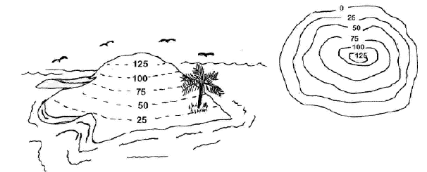
TOPOGRAPHIC MAPS
Topographic maps show a 3
dimensional world in 2 dimensions by using contour lines. Many
people have trouble reading these maps, because they have mountains
and valleys are represented with concentric circles and lines.
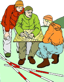
Many hikers use topographic maps, especially in areas where there are
no roads with signs. Geologists depend on topographic maps to record
the types of rocks. Engineers use topographic maps when they are
planning roads, buildings, or other humanmade structures. Imagine
designing a city without considering where hills and valleys are
located! |