| ANGEL ISLAND TODAY
Angel Island is the
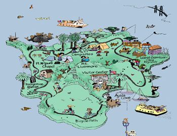
largest island in the San Francisco Bay with 740 acres and with a
height of 781 feet at Mt. Livermore. It is visited by tourist from
many countries. As you walk or ride along the trails you can see the
old military houses that were converted to detention homes. You can
see spectacular rock formation of red sedimentary rock called chert.
The only way you can get to the
island is by boat, which stops at the harbor that the first Spaniard
ships used. |